Interested in advertising on Derpibooru? Click here for information!
Pony Arts & Prints!

Help fund the $15 daily operational cost of Derpibooru - support us financially!

Description

No description provided.

Comments

Syntax quick reference: **bold** *italic* ||hide text|| `code` __underline__ ~~strike~~ ^sup^ %sub%

Detailed syntax guide

Background Pony #2F56
The map seems more taken from a tourist brochure than as an actual map. But it is very interesting, because there are no port facilities - it is reminiscent of an ancient Greek city. It is not well known that the Greeks in the Middle Ages abandoned all port cities on the islands and retreated to higher peaks in order to defend themselves against pirates and enemy attacks from the sea. The southwestern part of the map probably shows the “old town” because it is packed there, to the northeast where the bridge is located, we can find “the new town”, which will be more open in comparison. There are several residential areas to the north, reminiscent of resorts where travelers can rent accommodation just like in many resort towns. The blue line probably shows the tram line and then it meant that the tram was there as a holiday experience just like Blackpool in England.
 
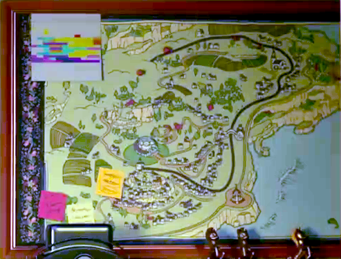
North of the urban area and the skyscraper building, we see a hilltop, which seemed to be exposed to cultural influences, perhaps it was originally a castle there. Maretown as the city in the Maretime Bay is called, may have existed in the G4 era.