Uploaded by Background Pony #B790
1920x1080 PNG 4.82 MB
Interested in advertising on Derpibooru? Click here for information!

Help fund the $15 daily operational cost of Derpibooru - support us financially!
Description
No description provided.
Tags
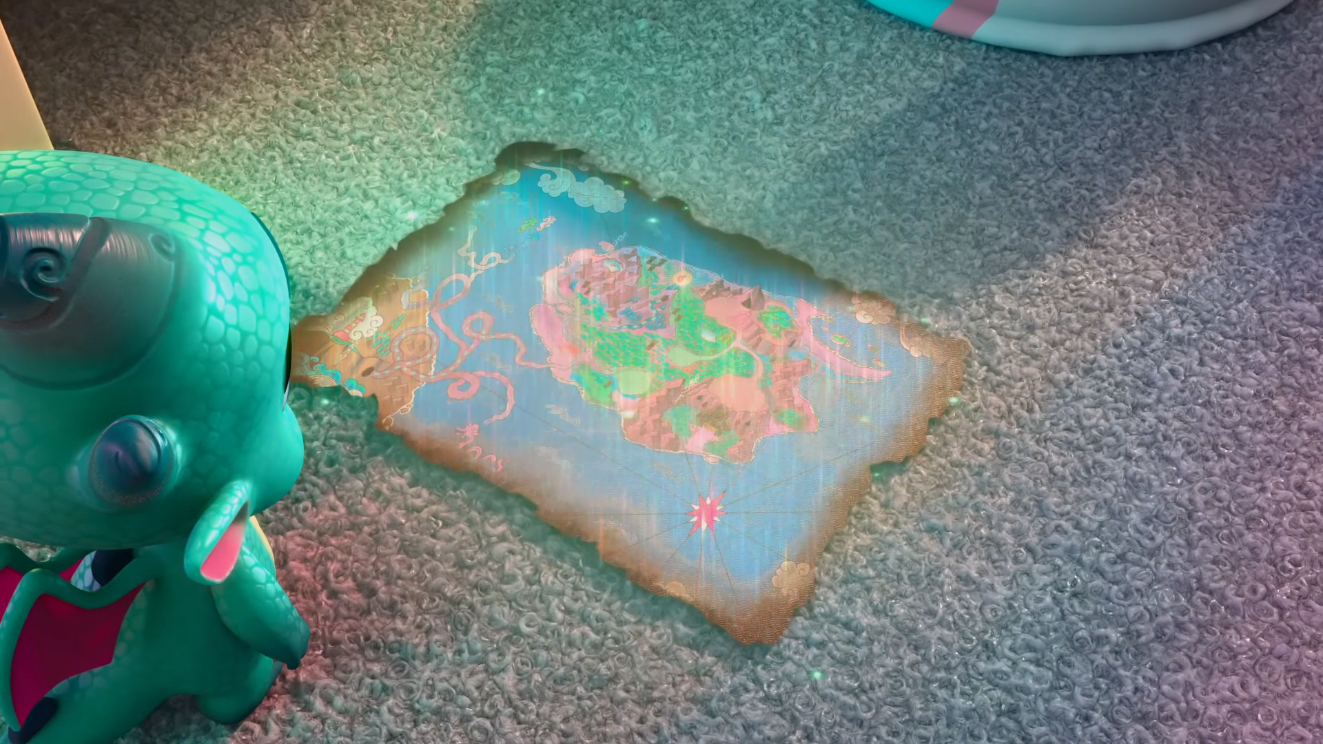
+-SH safe2233907 +-SH screencap300625 +-SH sparky sparkeroni4224 +-SH dragon89700 +-SH g581942 +-SH my little pony: make your mark11399 +-SH my little pony: make your mark chapter 51730 +-SH nightmare on mane street390 +-SH spoiler:g533915 +-SH spoiler:my little pony: make your mark chapter 51690 +-SH spoiler:mymc05e06382 +-SH baby17219 +-SH baby dragon4654 +-SH isle of scaly22 +-SH male573326 +-SH map1915 +-SH solo1477501 +-SH twilight sparkle's cutie mark826
Source
not provided yet
Loading...
Loading...
He’s not in this picture on derpibooru, he is not in the picture on the map, and that is Sparky Sparkeroni, NOT Steven Magnet…from Background Pony #1FB1
Yeah ok but are you even aware g5’s dragon lands look like nothing from that of g4?